

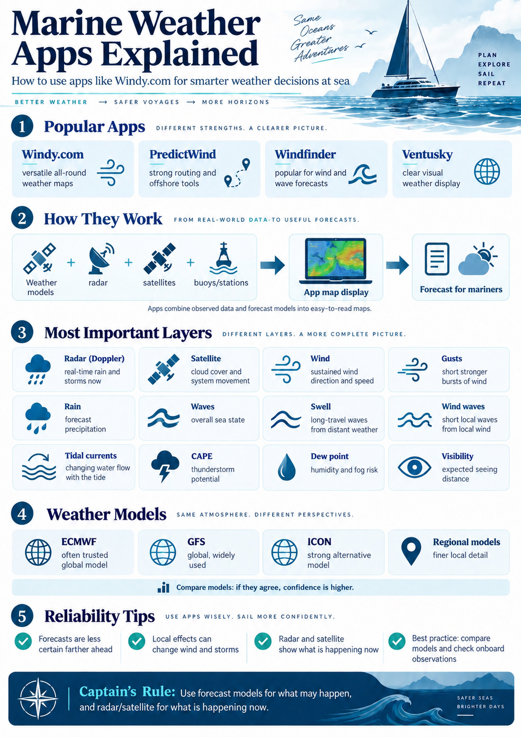
Windy, PredictWind, Windfinder and Ventusky explained — which layers matter, how the models differ and how to combine forecasts, radar and satellite into one clear picture at sea.
Modern weather applications have transformed marine forecasting. Apps such as Windy.com, PredictWind, Windfinder and Ventusky allow captains to examine wind, rain, thunderstorms, waves, currents and cloud development on an interactive map—often using several different forecasting models.
However, these applications do not actually “create” most of the weather forecasts themselves. They primarily collect information from meteorological agencies, numerical weather prediction models, satellites, radar networks, buoys and weather stations, then present the data in an understandable graphical form.
Windy.com, for example, provides global models including ECMWF, GFS and ICON together with numerous higher-resolution regional models. PredictWind provides several major global and regional models and its own PWG, PWE and PWAi forecasts. (https://www.windy.com)
The Most Useful Weather Apps for Yachting
Windy.com is one of the most versatile general weather applications for marine use. Its great strength is the number of graphical layers available. Wind, gusts, rain, thunderstorms, radar, satellite imagery, waves, swell, sea currents, tidal currents, visibility, dew point and CAPE can all be investigated from essentially the same interface. Different forecasting models can also be compared, which is particularly valuable when planning passages. (https://community.windy.com)
PredictWind is designed more specifically around sailors and offshore navigation. In addition to conventional weather maps, it allows several forecasting models to be compared and includes weather routing, departure planning, wave and current information and offshore forecast tools. Depending on the region, forecasts can include ECMWF, GFS, ICON, UKMO, AROME, HRRR, NAM and PredictWind's proprietary PWG, PWE and PWAi models. High-resolution PWG and PWE forecasts can reach approximately 1 km resolution in supported areas. (https://www.predictwind.com)
Windfinder is particularly popular with sailors, windsurfers and other wind-dependent sports. Its standard global forecast is based mainly on GFS, while higher-resolution “Superforecast” products are offered in supported regions. Windfinder also provides wave forecasts, observations and tidal information. (https://www.windfinder.com)
Ventusky provides another excellent graphical presentation of the atmosphere and allows users to examine models including GFS, ICON, ECMWF, GEM and regional high-resolution systems such as HRRR. It is particularly useful for visually following the development and movement of larger weather systems. (https://www.ventusky.com)
Weather Radar
Weather radar shows what is actually happening, rather than simply what a forecast model predicted would happen. Radar sends radio pulses into the atmosphere and detects energy reflected by precipitation. Modern Doppler weather radar can additionally determine movement toward or away from the radar, making it extremely useful for identifying thunderstorms, squall lines and rapidly developing precipitation. For a yacht approaching a storm, radar can therefore be considerably more valuable than simply looking at the forecasted rain layer. The forecast might predict where rain should be; radar shows where significant precipitation is now. Radar coverage, however, becomes poorer offshore because most weather radars are located on land.
Satellite
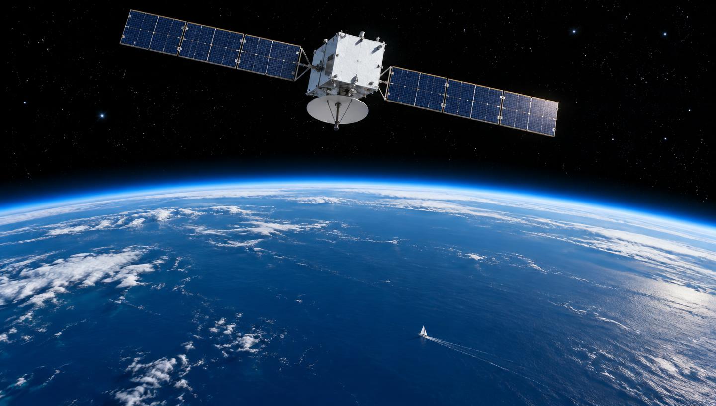
Weather satellites provide an actual observation of cloud formations and their movement. Satellite imagery is extremely useful offshore because its coverage extends far beyond coastal radar networks. It can reveal frontal systems, tropical systems, major convective cloud formations and the development of thunderstorms. Windy, for example, combines radar and satellite information in its Radar+ product. (https://www.windy.com)
Wind and Wind Gusts
The normal wind layer generally represents sustained forecast wind, commonly referenced around 10 metres above the surface. Wind gusts indicate short-duration maximum speeds and can be considerably stronger than the sustained wind. For yacht operations—particularly manoeuvring, anchoring, sailing and marina entry—the gust forecast can sometimes be more important than the average wind. Coastal topography, mountains, valleys and thermal effects can make actual local winds considerably different from a lower-resolution global forecast.
Rain and Thunderstorms
Rain layers show forecast precipitation intensity and accumulation. They should be compared with radar whenever radar coverage is available. Thunderstorm forecasting is considerably more difficult because individual convective cells can develop rapidly and may be smaller than the forecast model's grid.
CAPE
CAPE - Convective Available Potential Energy - indicates how much energy is potentially available for rising air and thunderstorm development. Higher CAPE generally indicates an atmosphere capable of stronger convection, but CAPE alone does not mean that a thunderstorm will occur. Moisture, atmospheric lifting, instability at different levels and wind shear must also be considered. For a mariner, increasing CAPE combined with developing cumulonimbus clouds, approaching precipitation and unstable weather deserves attention.
Waves, Swell and Wind Waves
Weather applications often display several different sea-state parameters. Wind waves are waves generated by the local wind. Their height and steepness can change relatively quickly as wind strength increases. Swell consists of waves that have travelled away from the weather system that originally created them. Swell may therefore arrive from a completely different direction from the local wind.
Tides and Currents
Combined or significant wave height represents the combined sea state produced by swell and wind waves. Wave period is equally important: a 2-metre wave with a long period can feel completely different from a steep 2-metre sea with a short period. For passage planning, captains should therefore examine wave height, direction and period—not simply wave height alone. Windfinder, for example, derives global wave forecasts primarily from NOAA's WaveWatch III system, supplemented by regional models in some areas. (https://www.windfinder.com)
Dew Point and Visibility
Weather applications can also display ocean currents and tidal currents. Ocean currents represent larger-scale water movement, while tidal currents reverse or change strength according to the tidal cycle. Windy introduced a dedicated high-resolution tidal-current layer in addition to its broader sea-current information. (https://community.windy.com) Current becomes especially important when it runs against strong wind or swell because opposing wind and current can create shorter, steeper and potentially dangerous seas.
Understanding the Weather Models
Dew point is the temperature at which the air becomes saturated with water vapour. When air temperature approaches the dew point, relative humidity becomes very high and fog, mist or condensation become increasingly possible. Visibility forecasts are particularly valuable when operating near shipping routes, harbour approaches or coastal waters where fog, dust, haze or heavy precipitation may reduce visibility.
The forecast displayed by an app depends heavily on the underlying Numerical Weather Prediction (NWP) model. Among the most important are:
ECMWF – European global model widely used by professional meteorologists and navigators. GFS – NOAA's Global Forecast System, providing worldwide coverage and extensively used by weather services and applications.
ICON – Germany's DWD forecasting system, available globally with higher-resolution regional versions. UKMO – the UK Met Office forecasting model. AROME, HRRR and NAM – higher-resolution regional models that can represent local topography, sea breezes and smaller weather features better within their coverage areas.
How Reliable Are Weather Apps?
PredictWind additionally offers PWG and PWE, derived respectively from NCEP/GFS and ECMWF initial conditions, as well as its newer AI-based PWAi model. (https://www.predictwind.com/help)
The Captain's Rule
No weather application—or weather model—is consistently correct. Forecast reliability generally decreases as the forecast period increases, while small-scale phenomena such as thunderstorms, squalls, sea breezes and locally accelerated winds remain particularly difficult to predict. Higher resolution can represent coastlines and terrain better, but higher resolution does not automatically mean a more accurate forecast. One of the best techniques for professional marine use is therefore model comparison. If ECMWF, GFS, ICON and a regional model all predict approximately the same wind and frontal timing, confidence in the forecast increases. When the models disagree significantly, the forecast should be regarded as uncertain. Both Windy and PredictWind provide tools specifically designed to compare models. (https://community.windy.com)
A weather app should never be treated as a single source of truth. For marine operations, the strongest picture comes from combining forecast models + radar + satellite imagery + actual weather observations + onboard instruments + official meteorological warnings. Forecast models tell us what may happen. Radar, satellite and observations tell us what is happening now. Understanding the difference is one of the most important skills in modern marine weather forecasting.
More in Equipment
 Equipment
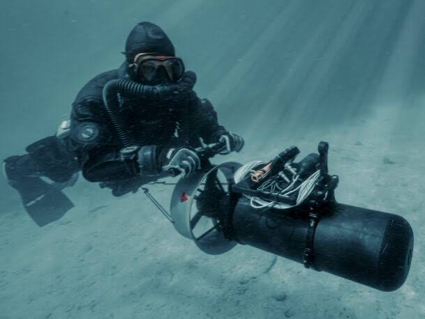
Underwater Scooters: Seven Models Compared for Yacht Use
From premium performance machines to ultra-portable travel scooters — speed, endurance, depth, storage and budget side by side.
Captain's Corner Magazine · 8 October 2026
 Equipment
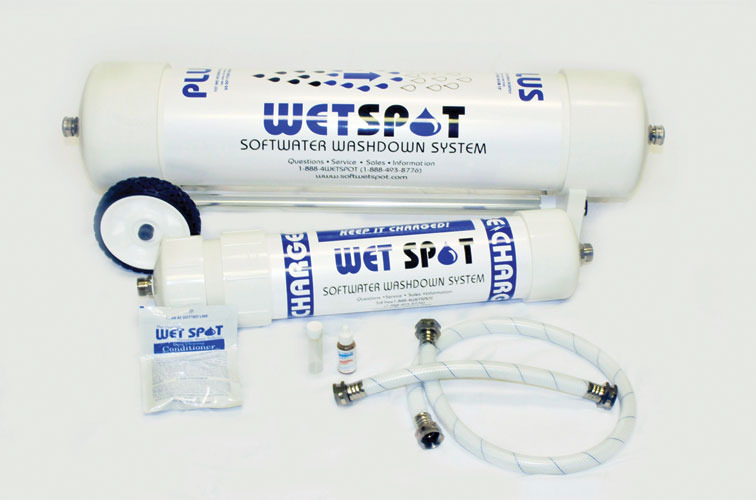
Wet Spot Water Softeners
A simple marine solution for easier washdowns and less scale in onboard freshwater systems.
Captain's Corner Magazine · 12 September 2026
 Equipment
Offshore Internet at Sea: Iridium, Starlink and Amazon Leo Compared
High-speed broadband for everyday connectivity, high-reliability satellite for backup and safety — how the main offshore internet options divide, and which combination makes sense.
Captain's Corner Magazine · 14 October 2026